Maldives, India jointly survey large parts of north
Under the hydrography agreement signed between the Maldives and India, the first joint hydrographic survey was carried out in February and March last year.
Top Stories
-
Ministry to assess repairs at Sinamalé, Malé Hiyaa flats
-
Authorities asked to probe blasphemous insults in TikTok live
-
Fine waiver, MVR 100k allowance for Sinamalé, Malé Hiyaa flats
-
Referendum on merging elections with April 4 council polls
-
Fenaka Saeed transferred to house arrest over health reasons
By
Shahudha Mohamed
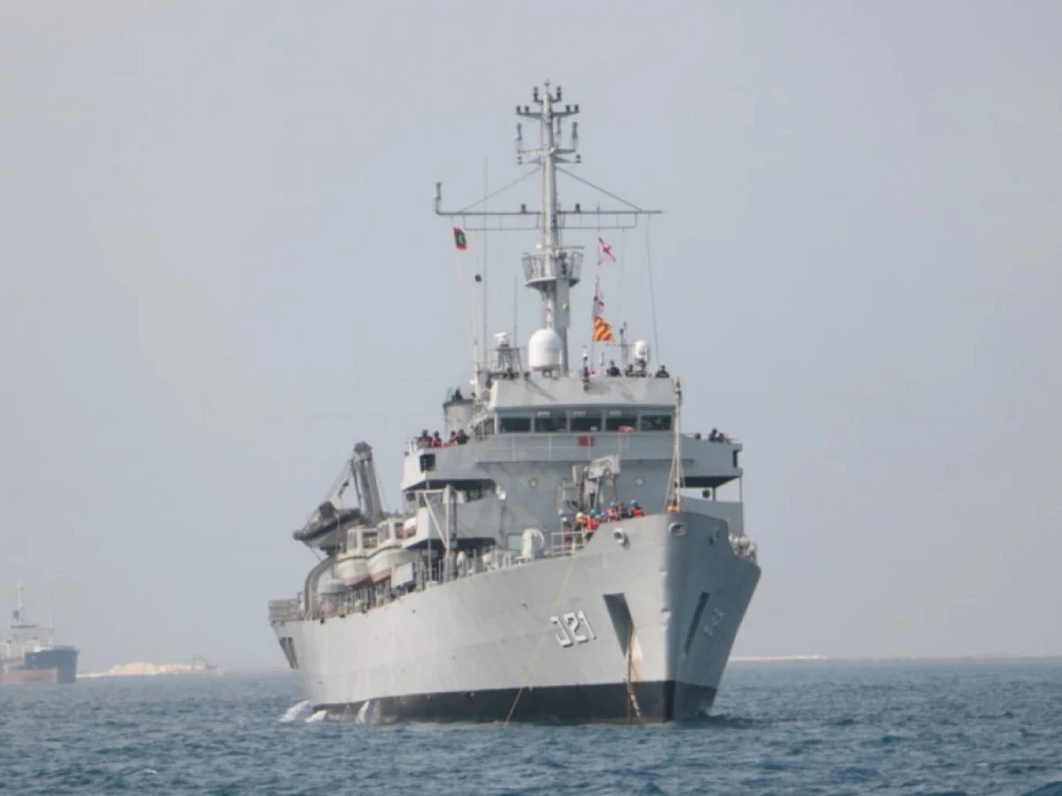
The third joint hydrographic survey conducted by the Indian navy and the Maldives' MNDF has surveyed large areas of the northern part of the country.
The survey was conducted between January 19 and February 26 as part of efforts to increase information about the country's coastline and prepare the latest charts of navigation.
This time, the survey was conducted as follows:
-
Ihavandhippolhu
-
Thiladhummathi Atoll
-
Gallandhoo Sea
MNDF said in a statement on Friday:
-
The survey covered 6,308 km of sounding in these atolls
-
A survey of 2,630 sqkm was carried out from these sounding lines; including the entire Ihavandipolhu Atoll and part of Boduthiladhumathi;
-
The surveys were conducted jointly by the Indian Army and the Maldivian Army with the help of land, sea vessels, helicopters and other vessels
-
Surveyed 88 km on foot and used multi-beam echo sounders in many areas
-
In the survey, 52 new shoals were found in the Ihavandhippolhu area (shoals are places that have shallow waters or lagoons; these places pose a risk to seafarers)
The MNDF press release listed the benefits of these surveys as follows:
-
Increased safety of ship navigation
-
Making the latest navigational and electronic charts; this survey will allow to print two large charts and medium-scale charts, including Ihavandhippolhu and Thiladhunmathi
-
Mapping the country's sea lanes
-
High tide observations have been made for Kulhudhuffushi, Marandhoo and Hoarafushi; future tidal forecasts can be made
Under the hydrography agreement signed between the Maldives and India, the first joint hydrographic survey was carried out in February and March last year by Indian ship INS Darshkun. Subsequently, the second joint survey was conducted by INS Sutledge in April and May last year.
Both countries have the option of making hydrographic surveys and reaping financial benefits from the charts they produce. However, it is India that is benefiting more here. Thus:
-
35% Commission to the Government of Maldives if India sells to the Maldives
-
If India sells these charts to foreigners, Maldives will get 25% royalty
Maldives-India hydrography relations:
-
The MoU to enhance cooperation in this field was signed during the Prime Minister's official visit to the Maldives on June 8, 2019.
-
An Indian delegation arrived here on September 26, 2019 to hold the first joint committee meeting.
-
Maldives Hydrographic Service was established on March 7 last year.
-
For the first time, the Maldives participated in the 20th North Indian Ocean Hydrographic Commission meeting as an observer.
The government has come under fire from the opposition over the deal. This is one of the things that has been raised against the opposition's 'India Out' movement.


